Exploration
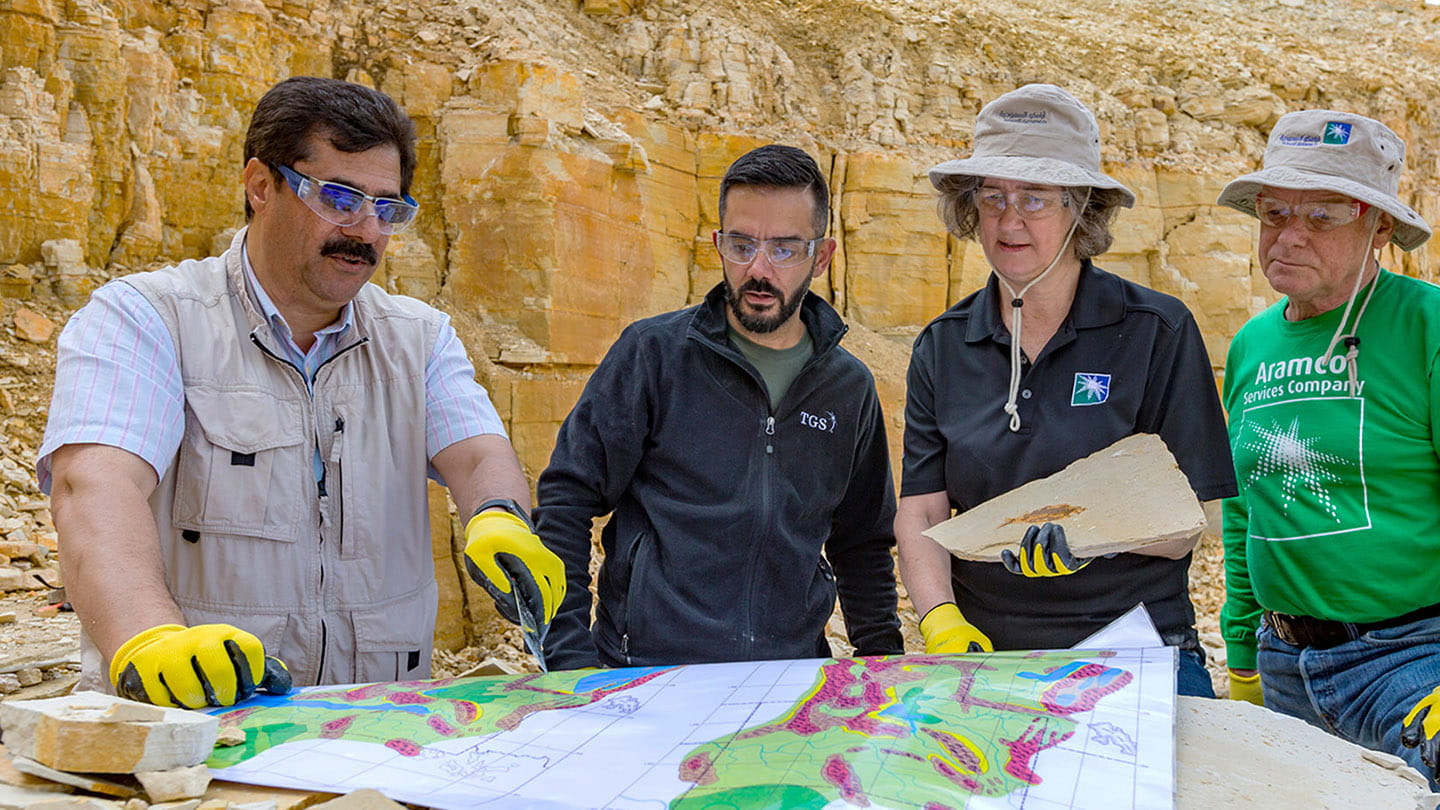
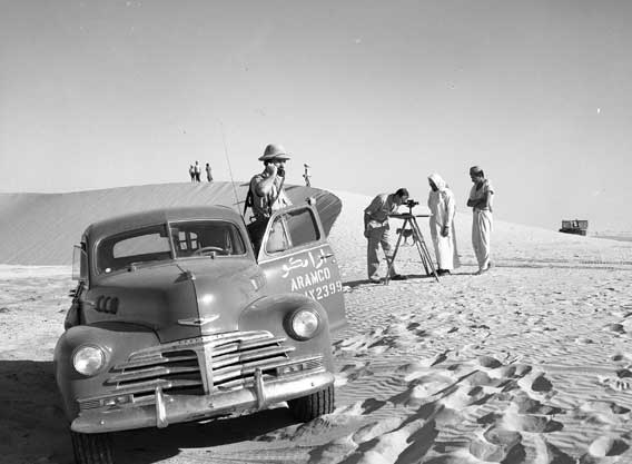
Our spirit of exploration is inspired by our history. In 1933, we started exploring the unique geology of Saudi Arabia’s Eastern Province. This is where geologists explored the terrain for potential indicators of oil, such as anticlines — visible arch-shaped rock structures — and exposed rock formations known as outcrops.
Saudi Arabia’s rich geoheritage is an intrinsic part of its physical landscape and biodiversity. Aramco aims to protect and preserve the Kingdom’s geological outcrops — rocks that are exposed, or ‘crop out’ at the surface, acting as signposts to what’s hidden underneath.
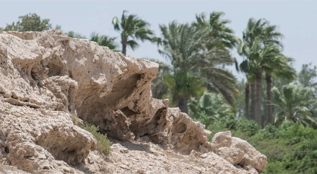
Rock formations on the surface can provide valuable clues to what could potentially lie miles below ground.
These geological features eventually guided our exploration teams to drill the Dammam No. 7 well in 1938. The deeper they drilled the well, the more visible were the oil reservoirs that were hidden beneath sedimentary rocks.
Decades of discovery
Under Saudi Arabia’s desert sands and the seas off the Arabian Peninsula are two of the world’s largest oil fields: Ghawar onshore and Safaniyah offshore. Exploration of these fields took off in the 1950s and 1960s. In the 1990s, we were exploring satellite fields in central Saudi Arabia, and from 2010 we began discovering gas deposits in the remote Rub’ al-Khali — known as the Empty Quarter. By 2020, the gas from our nonassociated gas fields — where gas is formed without the presence of oil — accounted for nearly half of our total production.
Our exploration journey continued to reach new frontiers. Now, we are consistently searching for non-conventional sources such as shale gas. Successful exploring for non-conventional resources can increase domestic access to lower-carbon energy sources.
Integrating technology
Today, we use the latest tools and technology to give us an in-depth understanding of the subterranean world of hydrocarbon reserves. Back when oil was discovered at the Dammam No. 7 well, exploration was a very physical endeavor — mainly relying on examining visible geological features. We assessed the geology largely by sight and drilled wells to test for reserves. We used structural drilling — a drilling technique used to drill shallow holes — to examine the geological structure beneath the earth’s surface, which guided us in determining potential locations of oil reservoirs.
Things have come a long way since then, and we now integrate drilling results with comprehensive geophysical imaging data to create 3D geological models of what is below Saudi Arabia’s land and seas.
Enhancing our exploration
Many of our breakthroughs in exploration now come from the use of sophisticated algorithms and advanced technology. We have developed software to simulate the creation of hydrocarbon reservoirs, predicting the location of traps, areas where reserves have pooled inside rock formations and subterranean strata. Imaging and modelling technology that makes use of geophysical imaging data, as well as advanced imaging algorithms, gives us ever more detailed images of what exists below the surface.
Collectively these technologies act as our compass for where the reserves are located across Saudi Arabia and the surrounding sea.
Hardware developments
We have been developing hardware innovations that can potentially transform our exploration of hydrocarbons, making our activities faster, safer, as well as more efficient and cost-effective. Emerging drone technologies include unmanned aerial vehicles (AUVs) that enable the autonomous acquisition of seismic data onshore, and a drone technology that sends vibrations through the earth to create a model of the layers beneath its surface.

Drone technologies are enabling us to explore further and faster than ever before.
Under the sea, we’re starting to employ hundreds of autonomous subsea vehicles designed to make mega seismic surveys of the seabed, cutting down the time and cost of data gathering.
Aramco aims to reinvent exploration and lead innovation in the industry. The use of technology and the expertise of our teams of specialized geologists, engineers, and project managers are key to all our exploration initiatives. Flexible thinking and collective imagination allow us to discover new resources in ingenious ways.
Aramco estimates of its proved reserves as reported in the Annual Report. For details please check the Annual Report documents.
| Year | Crude Oil & Condensate (mmbbl) | Natural Gas (bscf) |
Natural Gas (mmboe) | NGL (mmbbl) | Combined (mmboe) |
| Reserves as at December 31, 2024 | 189,782 | 209,769 | 34,189 | 26,058 | 250,029 |
| Reserves as at December 31, 2023 | 191,349 | 207,450 | 33,822 | 26,024 | 251,195 |
| Reserves as at December 31, 2022 | 200,803 | 201,905 | 32,826 | 25,153 | 258,782 |
| Reserves as at December 31, 2021 | 196,871 | 194,453 | 31,549 | 25,188 | 253,608 |
| Reserves as at December 31, 2020 | 198,843 | 191,573 | 31,086 |
25,226 |
255,155 |
| Reserves as at December 31, 2019 | 201,907 | 190,575 | 30,933 | 25,723 | 258,563 |
Protecting our geological heritage
Formed in ancient seas, lakes, and rivers, and shaped by wind and water over 60 million years, the outcrops located across Saudi Arabia tell us hidden truths about the geological structures, rock types, and past processes that helped form the peninsula. They made it possible for Aramco’s early geologists of the 1930s to map layers of rock concealed below the surface. This enabled them to compare the rock formations they found with those of oil producing reservoirs in neighboring Bahrain, helping them discover the Kingdom’s precious oil and gas resources. Aramco’s geoscientists still use outcrops to help them make new discoveries.
Aramco aims to help protect and preserve hundreds of geological outcrops located in its operational areas, and at other sites across the Kingdom, through media awareness campaigns, signage, and educational field trips. It is also designating the outcrops as biodiversity protection areas to support the habitat of native animals such as Arabian red foxes.
This content is blocked
You need to give permission.
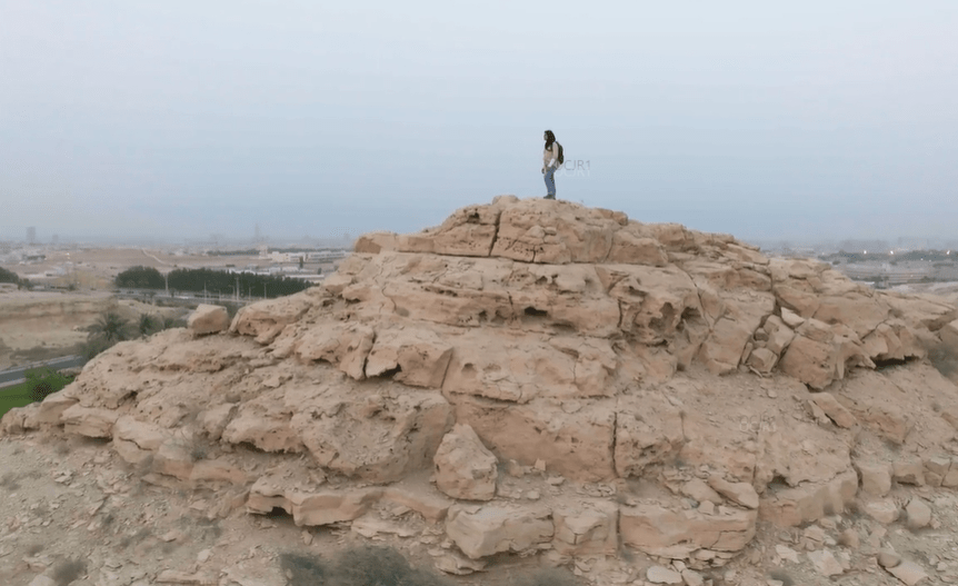
Geological outcrops, also known locally as jebels, provide a window into Saudi Arabia’s geological history.
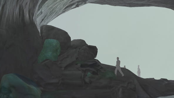
The birth of oil, of a kingdom, of Aramco
But where did Saudi Arabia’s oil come from in the first place?
