Charting new orbits in space
How a new generation of earth observation and communication satellites, and promising partnerships, are helping Aramco rapidly-expand our space capabilities.

- Aramco has been using satellite communication since the 1980s to provide connectivity in remote areas
- We aim to start using Low Earth Orbit (LEO) satellites, which are almost a hundred times closer to Earth than traditional satellites
- Data from LEO satellites coupled with AI technologies could open up an array of new capabilities for us, including advanced geographic surveying, carbon emissions analysis, rapid emergency response, and asset monitoring
At Aramco, we manage some of the world’s largest oil and gas fields, with our infrastructure and facilities spanning Saudi Arabia and overseas. The scale of our operations generates large volumes of data — there are over 5 million data points generated from our In-Kingdom operations everyday — which needs to quickly flow to decision-making centers to enable smarter, faster decisions.
Some of our facilities, however, are too remote to enable the laying of fiber-optic cables or the installation of 5G mobile towers, which presents a data transmission challenge. For instance, our wells are often located in isolated areas of the sea or desert that are thousands of kilometers away from the nearest control center.
This is why we use satellites to provide connectivity in remote areas, enabling data transmission, voice communication, and real-time monitoring of our assets and operations.
Evolution of our satellite deployment
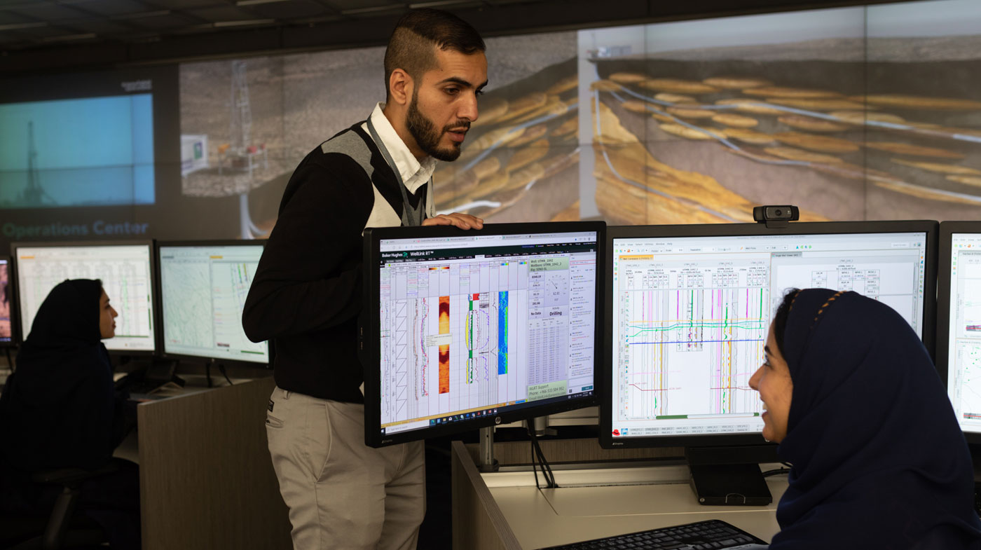
Aramco’s Advanced Geosteering Center
In 2006, we built two satellite gateways, or ground stations, to act as an interface between our corporate network and the VSAT terminals that are now spread across our rigs, marine vessels, and offshore platforms. Today, most of our remote sites are connected by an extensive VSAT network that uses geostationary, or GEO, satellites, which are satellites placed in a fixed position at an altitude of approximate 36,000 km from the Earth. We use these GEO satellites to transmit data to and from the ground stations.
In 2019, we utilized geographical and positioning satellite data to develop a navigation app, which combines commercially-available data with our own mapping data to give workers reliable directions to our sites, facilities, and deposits. By assisting drivers to stay on the company’s designated roads and follow optimal routes, the ‘Navigator Services’ app has made a positive impact on the safety of our workers, the cost of field operations, and the local environment.
A new generation of satellites
Over the years, we have continued to expand our satellite communication capacity to include more and more offshore platforms and remote drilling and exploration sites, and, as of 2024, the network covers around 400 mobile onshore and offshore platforms that have no means of guaranteed connectivity except through space.
To further expand our satellite capabilities, we aim to start using Low Earth Orbit (LEO) satellites, a new generation of ‘low orbiting’ satellites that can potentially send large volumes of data in a shorter period compared to GEO satellites. This is possible because of their close proximity to the Earth’s surface, sometimes as close as 160 km above the Earth.
LEO satellites can offer higher bandwidth, with the potential to support and extend 5G communication networks, taking on a role that would otherwise require extending networks of cell towers. Furthermore, their ability to transmit data quickly makes them an ideal choice for time-sensitive applications such as real-time monitoring of oil and gas wells and emergency response in remote areas.
Because LEO satellites have the potential to unlock multiple benefits for the Company, we have been working toward integrating them into our operations through strategic partnerships.
Our partnerships
In 2021, we partnered with UK-based LEO operator Airbus OneWeb Satellites, which first launched satellites in 2019, and now has more than 600 satellites in orbit. We conducted a pilot project with them using a LEO satellite to backhaul a 5G cellular base station to provide connectivity to workers at a remote site.
In 2023, we initiated a partnership with Montreal-based emissions monitoring company GHGSat to use their network of satellites, which are capable of detecting and quantifying GHG emissions from point sources as small as individual oil and gas wells. As of 2024, we are starting to make use of GHGSat’s satellite network (known as a constellation), which our engineers and specialists will be able to use to monitor methane emissions from our In-Kingdom operations and gain insights into our emission sources with a new level of detail and accuracy.
We have also invested — via our subsidiary, Wa’ed Ventures — in OQ Technology, a start-up focused on developing a satellite constellation to provide universal 5G Internet of Things (IoT) coverage by transmitting sensor data from any point in the globe, including the most remote and isolated areas. In a pilot study conducted at our fields in 2021, OQ Technology successfully transmitted sensor data like temperature, humidity, and CO2 emissions from an oil wellhead, located at a remote field, to our headquarters.
Expanding satellite applications
We aim to continue expanding our space capabilities by exploring the combination of enhanced data transmission from satellites and cutting-edge Artificial Intelligence (AI) technologies.
For instance, we are studying the use of high-resolution satellite imagery for more precise monitoring of our infrastructure, pipelines, and facilities, which are spread across vast areas and often located in challenging terrain. Once we collect the high-resolution satellite images through quicker data transmission, AI-based applications may be used to detect changes in infrastructure or environmental conditions to predict what maintenance is necessary and when, facilitating proactive maintenance and enabling more-efficient risk management.
Another potential application is greenhouse gas (GHG) detection, where AI algorithms can be used to analyze satellite data to monitor and detect the sources of GHG emissions.
As we continue making advances in integrating space technology, our actions will not just enhance our operational reliability and efficiency, but also benefit Saudi Arabia’s growing space industry and its aspirations to become a significant player in the global space sector.

More from Elements


Media contact information
All media enquiries are handled by Aramco’s Media Communications & Coordination Department, Dhahran, Saudi Arabia.
For media inquiries, please email us at media.inquiries@aramco.com